Det finns många bergsutsikt under Everest Base Camp-leden. På vägen till världens högsta basläger kan vi förvänta oss att se några av de högsta bergen längs vägen. Everests basläger ligger vid 3 985 m/13 074 fot Baslägret ligger söder om Mount Everest, och vanligtvis vandrar vandrare för att se den majestätiska snöklädda Himalaya-kedjan längs leden till Everest Base Camp.
Lhotseberget är världens fjärde högsta topp och syns mellan våra leder. Nuptse, Ama Dablam, Thamserku, Kangtega, Pumori och Cho Oyu är också några av de högsta topparna som kan ses längs leden till baslägret.
Innehållsförteckning
Nu ska vi dyka in i dagsprogrammet för Everest baslägervandring, inklusive bergen och topparna vi kan se varje dag.
Bergsutsikt från Lukla till Phakding
Phakding ligger på en höjd av 2652 m. Under vandringen till Everest basläger är avståndet från Lukla till Phakding 8 km. När du vandrar mellan Lukla och Phakding, på nordvästra sidan, får du se Kongde Ri (6 187 meter / 20 298 fot) i startfasen av dagens vandringsled.
Du får se de tre topparna: Kusum Kanguru (6 367 meter / 20 889 fot). Thamserku (6,623 21,729 meter / XNUMX XNUMX fot) är ett berömt berg som kan ses norrut på väg mot Phakding. Thamserku är en skarp och ojämn bergstopp.
Numbur (6 959 meter / 22 831 fot) är inte särskilt populär, men den är en del av Rolwaling Himal-bergskedjan, som också kan ses.
Karyolung (6 511 meter / 21 359 fot) kan också ses längs leden från Lukla till Phakding, men sikten kan påverkas av väderförhållandena, så se till att vandra till Everest Base Camp under den bästa säsongen.
Bergsutsikt från Phakding till Namche Bazaar
Många ytterligare bergstoppar kan ses längs leden från Phakding till Namche Bazaar på väg till Everest Baslägret. Namche Bazaar ligger på en höjd av 3440 m / 11283 ftVandringsleden från Phadking till Namche Bazaar är 11 km lång.
Som förut, Kongde Ri, Kusum Kanguru, och Thamserku är också synliga på leden till Namche Bazaar. Kangtega (6 782 meter / 22 251 fot), även känd som snösadelstopp, syns på leden. Medan man vandrade framåt fick man en glimt av Nuptse (7 861 meter / 25 791 fot).
Eftersom det ligger nära Namche Bazaar kan vi se Everest (8 849 meter / 29 032 fot). Vi kan också se Lhotse (8,516 27,940 meter / XNUMX XNUMX fot) och Ama Dablam (6 812 meter / 22 349 fot).
Bergsutsikt från Namche Bazaar till Tengboche
Förutom de tidigare namngivna bergen, som t.ex. Kangtega, Kusum Kanguru, Kongde Ås, och andra. Flera andra toppar kan ses från leden. Tengboche ligger på en höjd av 3860 m (12660 fot)). Avståndet från Namche till Tengboche är 11 km.
På Everest Base Camp-leden mellan Namche och Tengboche såg vi den framträdande toppen Taboche (6 495 meter / 21 309 fot). Det pyramidformade toppen är Kwangde Ri (6 011 meter / 19 721 fot) och Tawoche (6 501 meter / 21 329 fot).
Vandringsleden från Namche Bazaar till Tengboche erbjuder en härlig blandning av frodiga skogar, hängbroar och magnifika bergslandskap. Medan du går förändras utsikten över de omgivande topparna, vilket ger vandraren en känsla av framsteg genom den varierande och hisnande terrängen i Everestregionen.
Bergsutsikt från Tengboche till Dingboche
Rutten från Tengboche till Dingboche är 11 km lång. Dingboche ligger på en höjd av 3 985 m/13 074 fot Acklimatisering: Många vandrare stannar i Dingboche för att acklimatisera sig. Inte bara det, utan folk stannar också här för att njuta av den klara panoramautsikten över olika berg.
Vi kan se flera nya berg och landskap från Tengboche under leden till Dingboche. Ama Dablam (6,812 22,349 meter / XNUMX XNUMX fot) är en fantastisk närvaro på leden mot Dingboche. Den är pyramidformad och en höjdpunkt på Everest base camp-vandringen.
I Dingboche kan vi se Lhotse-toppen tydligare än på någon annan destination längs rutten. Under provspelningen fick vi se Ötoppen (Imja Tse) (6 189 meter / 20 305 fot), en annan populär vandringstopp i Nepal.
Cholatse (6 440 meter / 21 126 fot) och Pangboche-topparna finns andra bergstoppar som kan ses under leden. Medan Taboche, Thamserkuoch Kangtega kan också ses.
Leden mellan Tengboche och Dingboche korsar Imja Khola, som erbjuder fantastisk utsikt över de omgivande bergen.
Bergsutsikt från Dingboche till Lobuche
Leden från Dingboche till Lobuche är en 5-timmars vandring som täcker 12 km. Lobuche ligger på en höjd av 4910 m (16105 fot). Vandringen från Dingboche till Lobuche ökar gradvis i höjd med ett kargt landskap. Utsikten över bergen från Lobuche kommer att ge dig en känsla av vördnad och prestation, i kombination med den utmanande terrängen.
Bergen som syns från leden är i stort sett desamma, och vi får panoramautsikt över Ama Dablam, Lhotse, Island Peak (Imja Tse), Cho oyu, Thamserku, Kangtega, Pumorioch Nuptse.
Cho Oyu (8,188 26,864 meter / XNUMX XNUMX fot) är ytterligare ett berg som ses för första gången mellan lederna. Cho Oyu är världens sjätte högsta berg och kan ses från vissa punkter under leden. Pumori (7,161 23,494 meter / XNUMX XNUMX fot) ses också för första gången mellan lederna.
Bergsutsikt från Lobuche till Gorakshep
Avståndet från Lobuche till Gorakshep är 4.5 km, och det tar cirka 4 timmar att nå dit. Gorakshep ligger på en höjd av 5180 m (16,990 fot). Vandringen är utmanande men givande och erbjuder hisnande utsikter över några av världens högsta och mest ikoniska toppar.
Vi kommer att se samma bergstoppar som i Lobuche, men den nya bergstoppen som syns härifrån är Lingtren (6 749 meter / 22 142 fot), en tydlig topp i området, synlig när du tar dig mot Gorakshep.
Khumbutse (6,640 21,785 meter / XNUMX XNUMX fot) är ett annat berg i regionen som kan komma till sikte under den här delen av vandringenChangtse (7 543 meter / 24 747 fot), trots att den ligger i Tibet, är synlig från vissa punkter längs leden till Gorakshep. Och, naturligtvis, Everest.
Under vandringen kan du också nå Gorakshep med helikopter från Katmandu.
Bergsutsikt från Everest basläger
Vandringssträckan från Gorakshep till Everest Base Camp är 3.3 km, och det tar 2 timmar att nå dit. Från Everest base camp får vi se panoramautsikt över flera berg i Everestregionen.
Mount Everest (8,849 29,032 meter / XNUMX XNUMX fot), Nuptse (7,861 25,791 meter / XNUMX XNUMX fot), Lhotse (8 516 meter / 27 940 fot), Pumori (7,161 23,494 meter / XNUMX XNUMX fot), Changtse (7,543 24,747 meter / XNUMX XNUMX fot), Khumbutse (6,640 21,785 meter / XNUMX XNUMX fot), Lingtren (6,749 22,142 meter / XNUMX XNUMX fot)och Thamserku (6 623 meter / 21 729 fot).
Andra saker om Everest Base Camp-vandring
Snabbt råd:
När du vandrar på väg till antingen Everest, Annapurna eller andra regioner. Det finns många Android- och iOS-appar, som Peak Finder och Peak Name. Du kan ta reda på namnet på ett berg bara genom att visa berget i appen. Detta ger dig bergets höjd och namn, och är mycket användbart under vandring.
Bergsutsikt under Everest Base Camp-leden
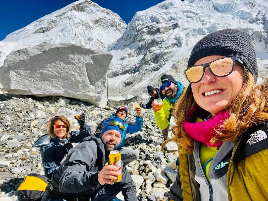
Bilder från Everestvandring: